All products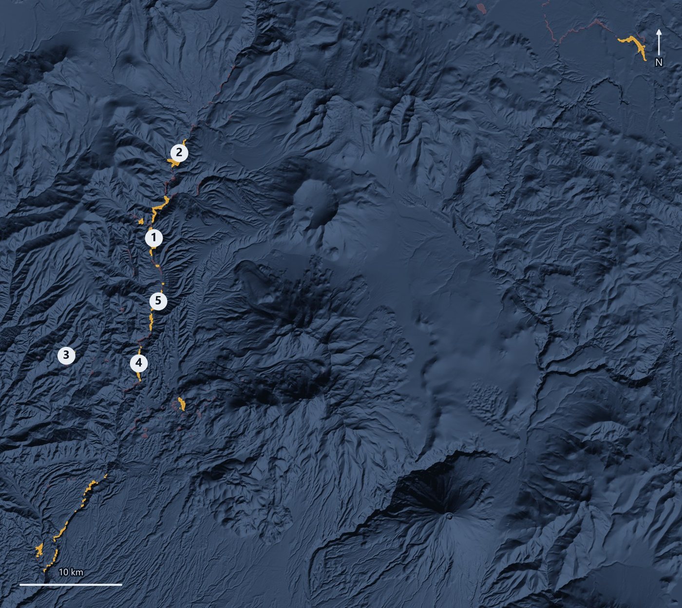
Water
Natural water storage mapping
Where can the landscape itself hold water through the dry season?
Validated in
Andean highlands, Peru
Maps from a finished run
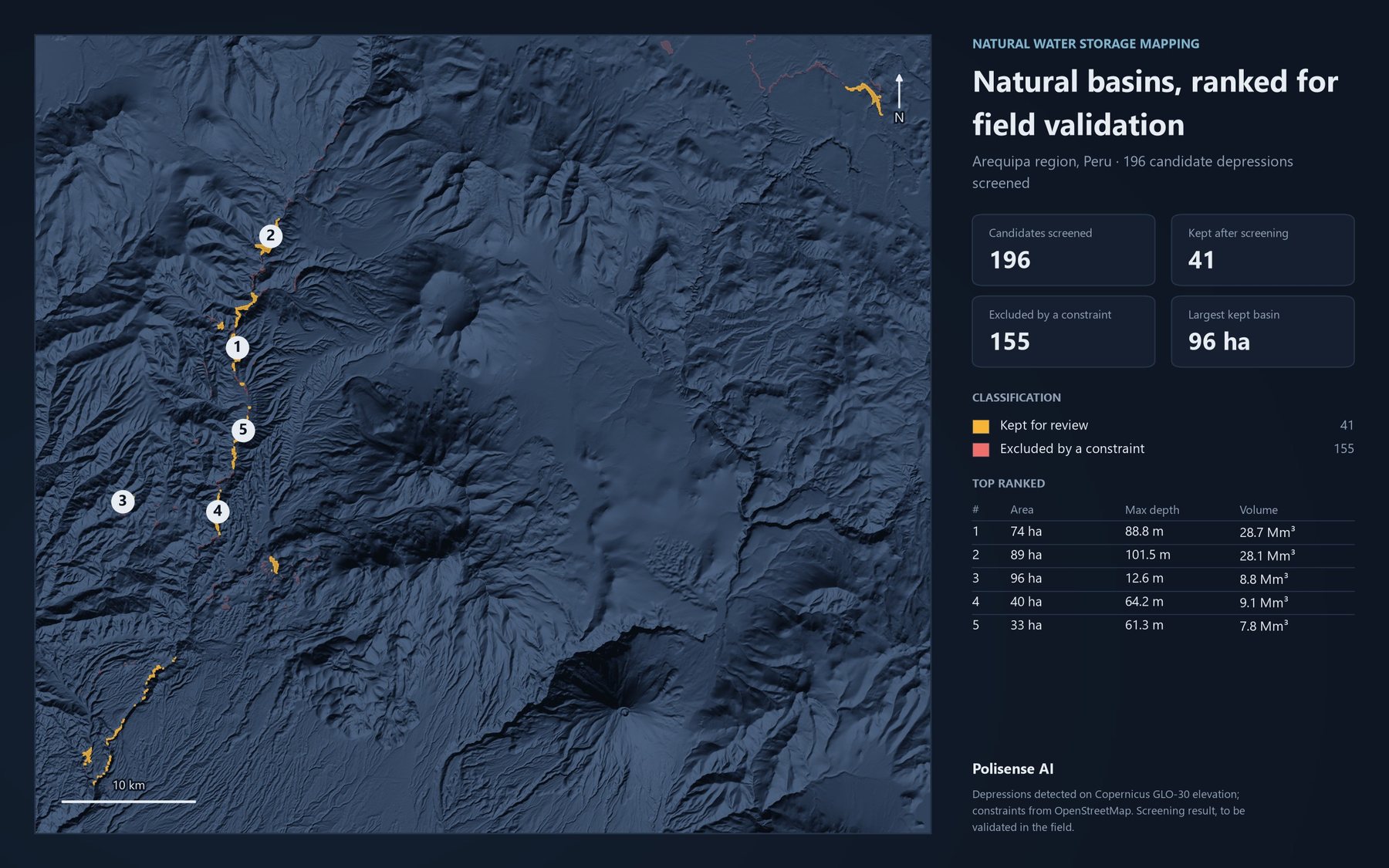
Results
- Candidate sites screened, and the number flagged for field validation
- 196 → 41
- Candidate sites screened, and the number flagged for field validation
What it does
- Builds a terrain model of the watershed from elevation data.
- Finds natural basins that could hold water and estimates their capacity.
- Checks every site against protected areas and other constraints.
- Ranks candidates and flags a shortlist for field validation.
Try it on your own territory
Live, on a real question from your region.