All products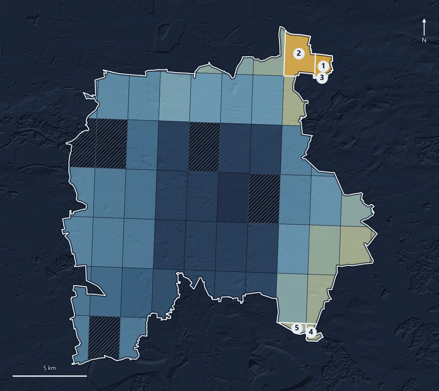
Infrastructure
Solar site screening
Where should the next solar plant go, and will the site survive regulatory review?
Validated in
Peru
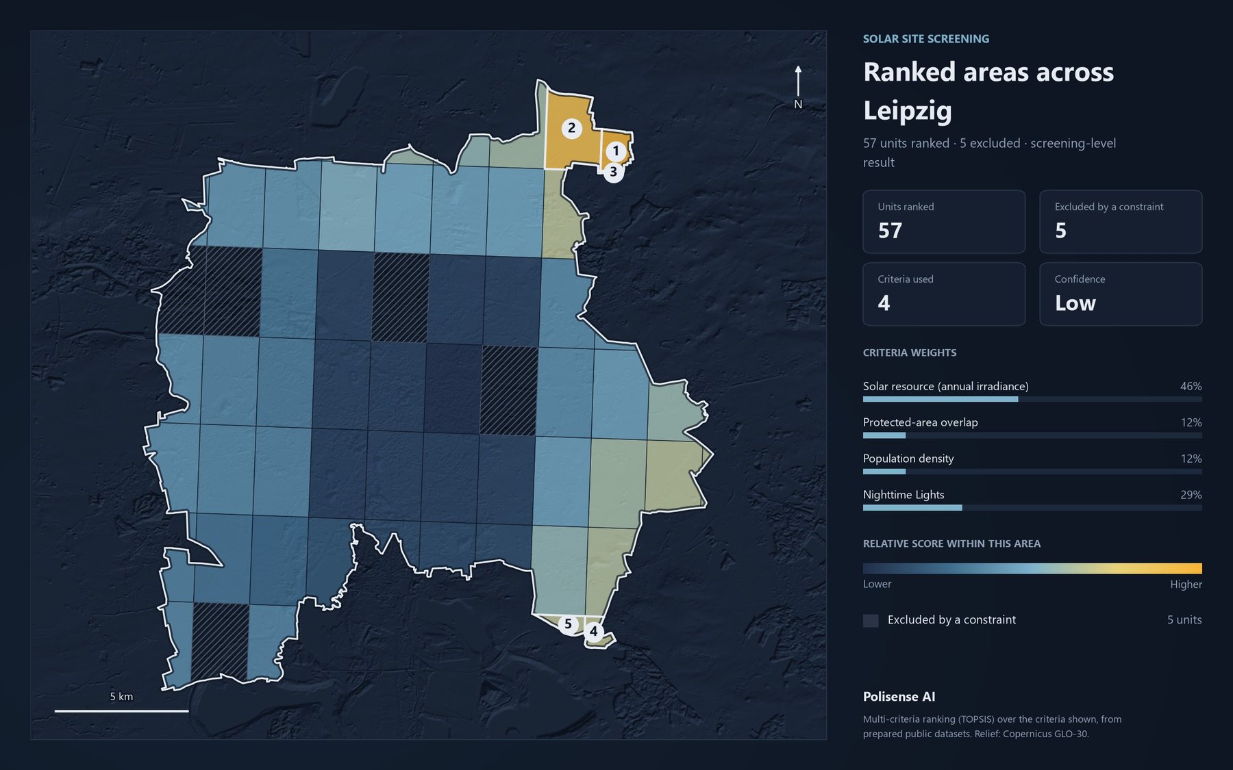
Maps from a finished run
Results
- Site prioritization plus a draft EIA, done by one planner instead of a consultant team
- 3 mo → 2 days
- Site prioritization plus a draft EIA, done by one planner instead of a consultant team
- Per analysis, against 3.5-4 hours in desktop GIS
- ~30 min
- Per analysis, against 3.5-4 hours in desktop GIS
What it does
- Rules out protected areas and steep terrain.
- Scores the land on sun, slope, grid and road access.
- Ranks the sites and shows what drove each score.
- Assembles the evidence into a draft EIA.
Try it on your own territory
Live, on a real question from your region.